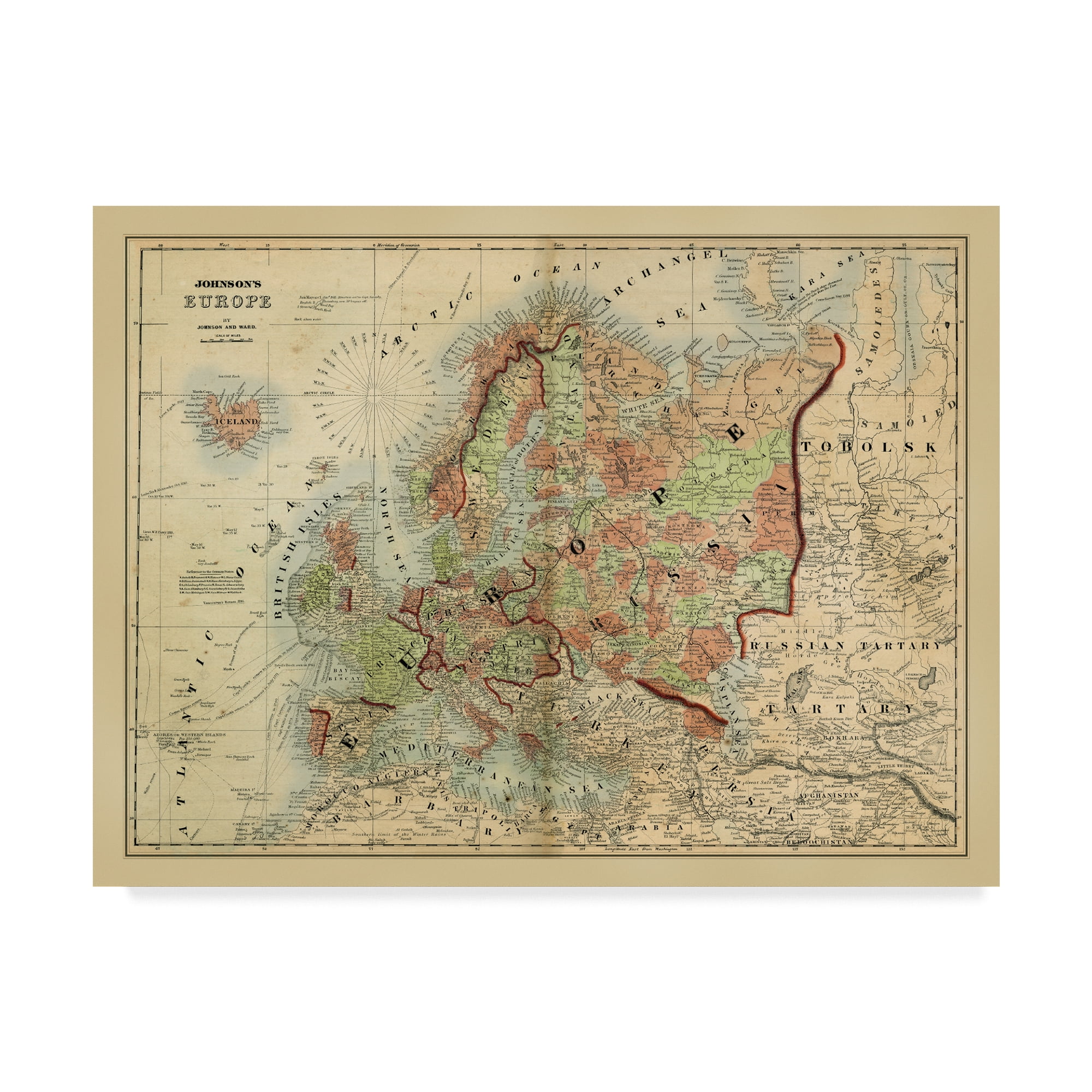
Antique Tan and Brown Framed Canvas Map Print
Colors:
Prices updated 3 days ago
Walmart
Lowest Price
Zoro
Description
Elevate your decor with this antique map of Europe, beautifully printed on canvas and framed for a classic look. The traditional style and warm tan and brown hues make it a timeless piece for any room.
Specifications
Related Products








Similar Products
Laminated Map Of Europe Poster Vintage European Maps With Countries Cities Travel Political Decor Poster Dry Erase Wall Art 16X24
Amazon.com
National Geographic: Europe And The Near East 1943 World War 2 - Historic Wall Map Series - 38.75 X 34 Inches - Art Quality Print
Amazon.com
Historic Map : Europe During World War II, Turner, 1941, Vintage Wall Decor : 36in X 27in
Amazon.com
Old EASTERN EUROPE MAP, Vintage Map Of Europe, Retro Map Decor, Wanderlust Poster, History Classroom Poster, Travel Gift, 1921
Etsy
Historic 1747 Map - A New And Accurate Map Of Africa, From The Latest And Best Observations - - Vintage Wall Art - 44in X 35in
Amazon.com
Europe Map 1840 By John Arrowsmith - Political And Physical - 56x70in - Archival Giclée Print - Unique Maps Co.
The Unique Maps Co. US
Africa Map Showing Recent Discoveries 1867 - Historical Map Print - 44in X 36in
Amazon.com
1925 Map Of Europe - Vintage Map Europe Wall Art - Bacon's Standard Map Of Europe Poster - Vintage Europe Map Poster - Europe Decor Poster Map Of Euro
Walmart
National Geographic: Europe Classic Enlarged Wall Map (46 X 35.75 Inches) (National Geographic Reference Map)
Amazon.com
1925 Map Of Europe - Vintage Map Europe Wall Art - Bacon's Standard Map Of Europe Poster - Vintage Europe Map Poster - Europe Decor Poster Map Of Euro
Walmart
National Geographic: Europe 1915 World War 1 - Historic Wall Map Series - 31.5 X 28.5 Inches - Laminated
Amazon.com
Holycowcanvas Personalized Europe Map On Canvas In Vintage Earth Tones, Travel Map With Pins To Mark Travels, European Pin Board, Maps For Wall Push
Amazon.com
Holycowcanvas World Travel Map With Pins On Canvas In Vintage Earth Tones To Mark Travels, World Map Pin Board, Travel Tracker, World Maps For Wall (
Amazon.com
Old Map Of Europe, 19th Century European Continent, Vintage Style Print Circa 1800S
Etsy
Historic Map - Roman Empire, Imperium Romanorum Latissime :: Roman Empire, Which Appears In Only A Few Late Editions Of The Colton, General Atlas,
Amazon.com
Roman Empire At Its Greatest Extent 1875 - Historical Map Print - 24in X 16in
Amazon.com